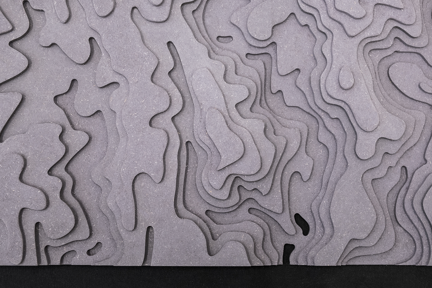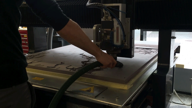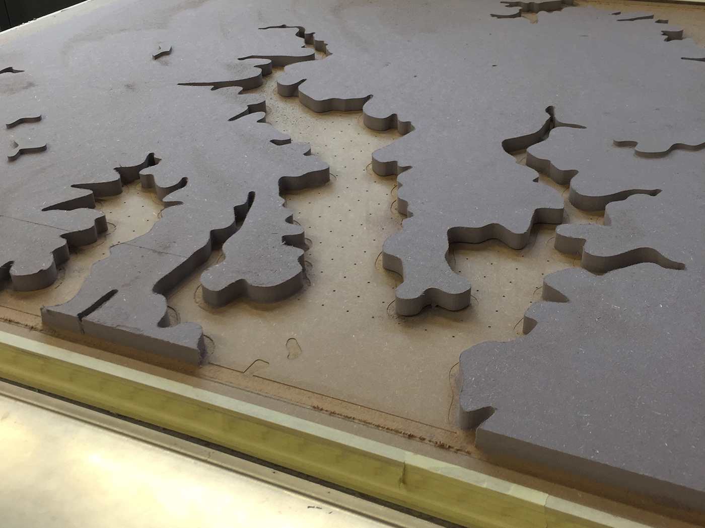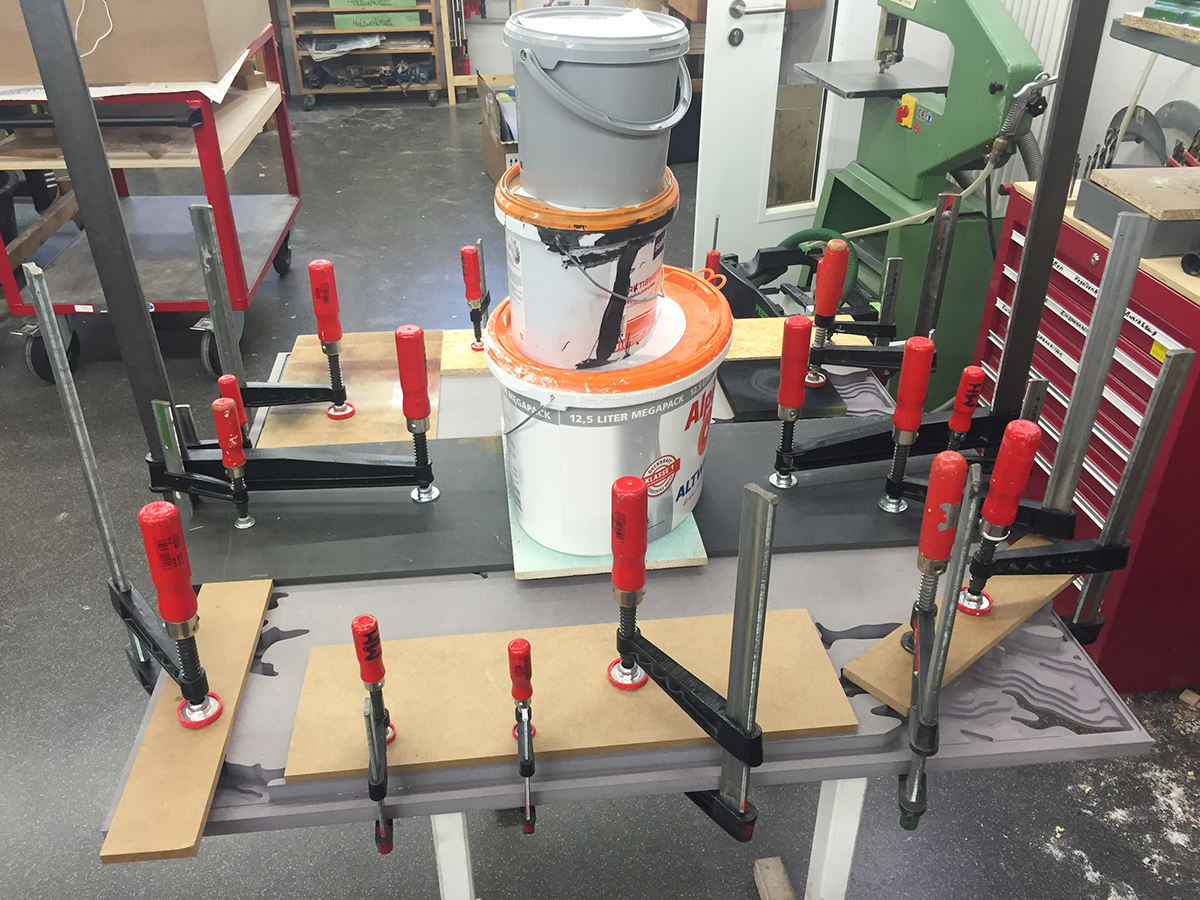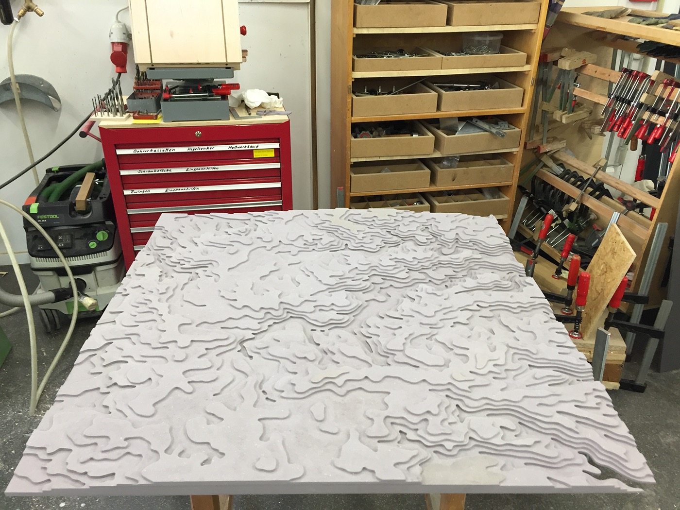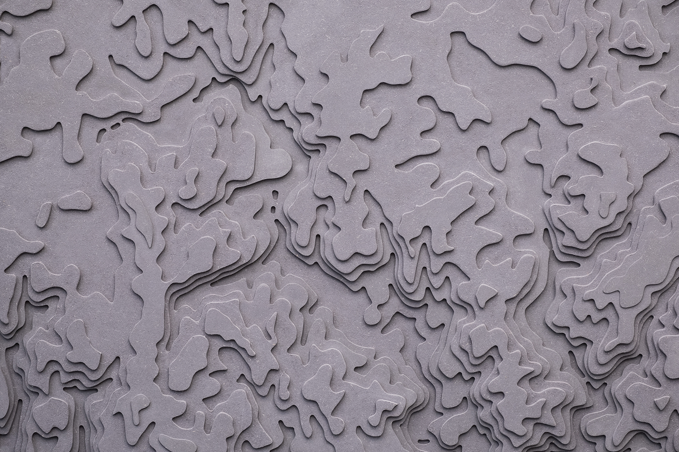
For an installation about the complexity of truth and the concentrated visible and invisible borders in the urban space of Jerusalem we built a topographic map to use as a projection surface. Satellite data was processed in QGIS and edited in Adobe Illustrator and Rhino. The map was then CNC-milled from grey colored MDF board measuring one by one meter.
Please have a look at the entire project and some making-of images below.