
State ID is a project dedicated to visualisation of state in urban area.
How does the state looks like? What is its physical body?
Walking in random places via Google Street View and collecting a lot places with presence of state, this publication creates an atlas of two ideas of the world: national and global.
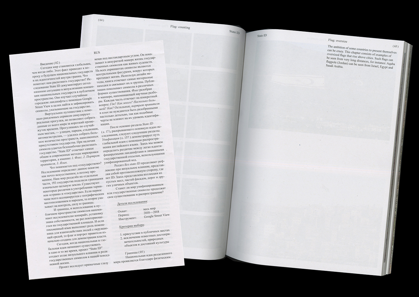
Content: Google Street View
Coverage: whole world, 2010 – 2018
Identifiers: Flag, Leader's portrait, Language


^ The table with saving dates of each screenshot (cover & project flag)

State ID
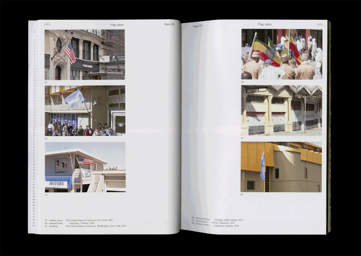
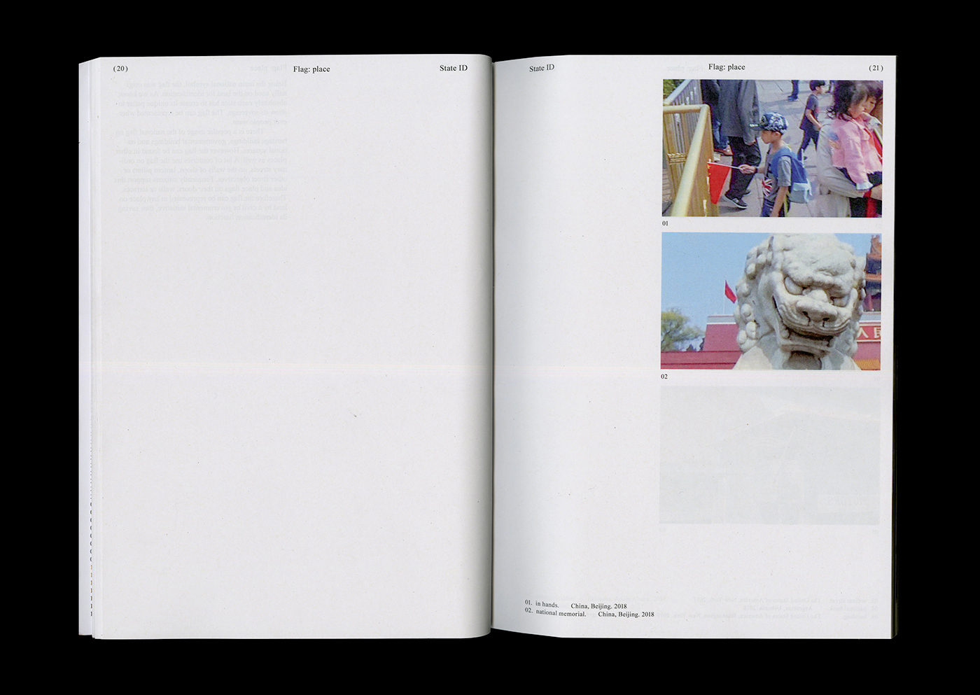
Identifier 1. Flag


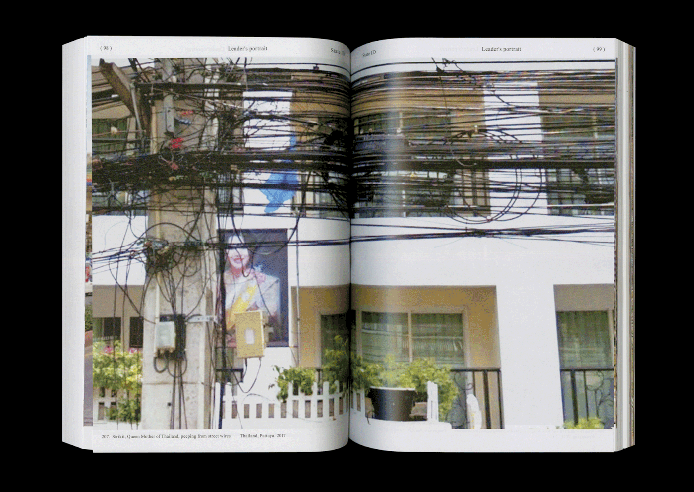
Identifier 2. Leader's portrait


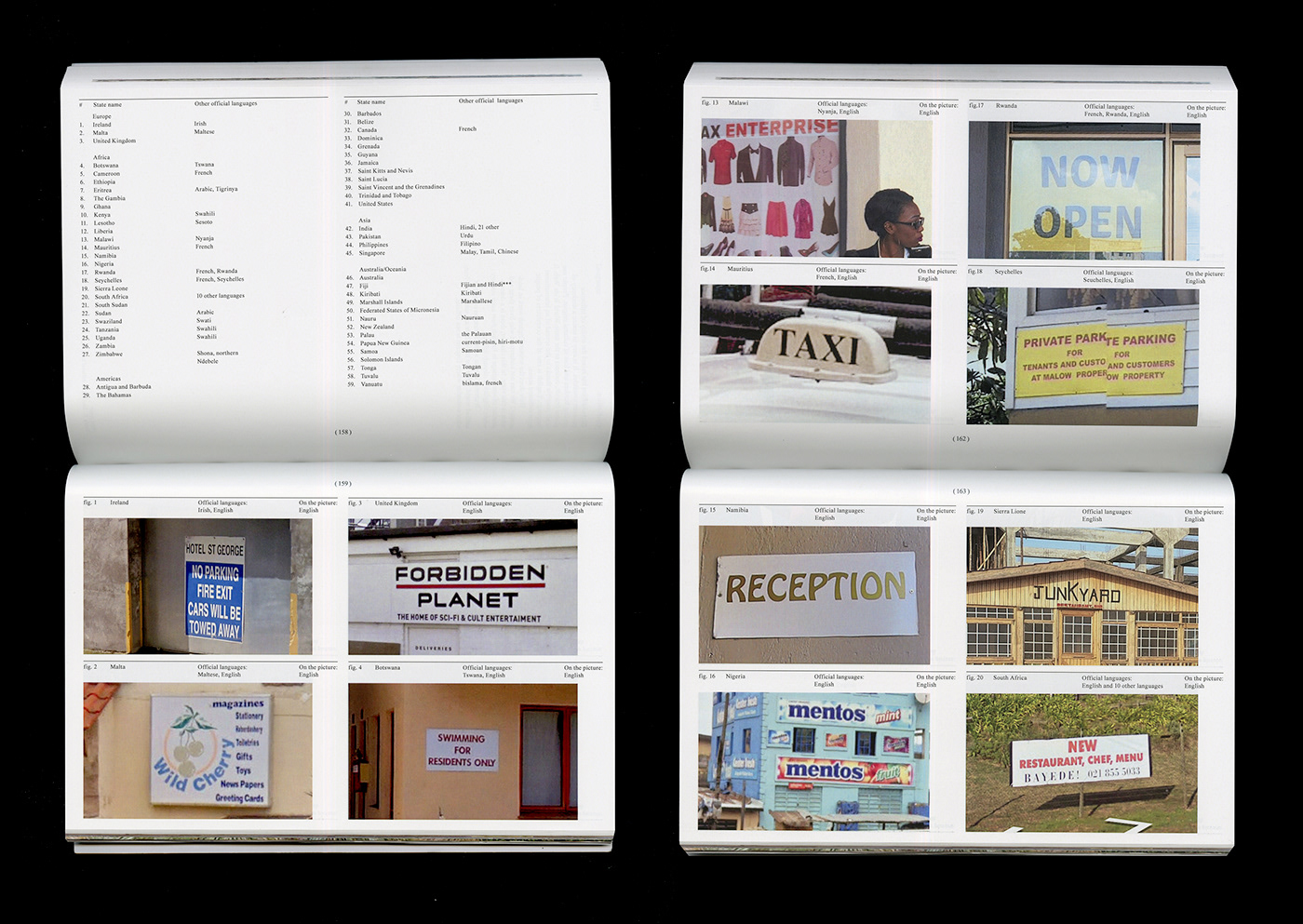
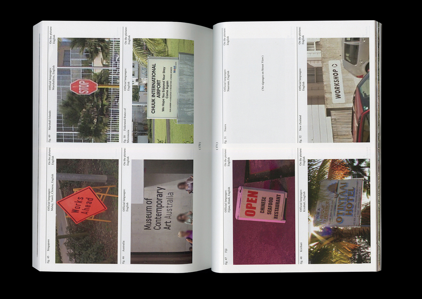
Identifier 3. Language


Unification
(international language all over the world)
Free from State ID


(click to visit the project website)
My thanks to Google Street View,
Dima Gusev, Ivan Yakushev and Stefan Lashko.
Write me if you want to order this book.
Thanx!
Keep in touch! Instagram: @de.xeniia


