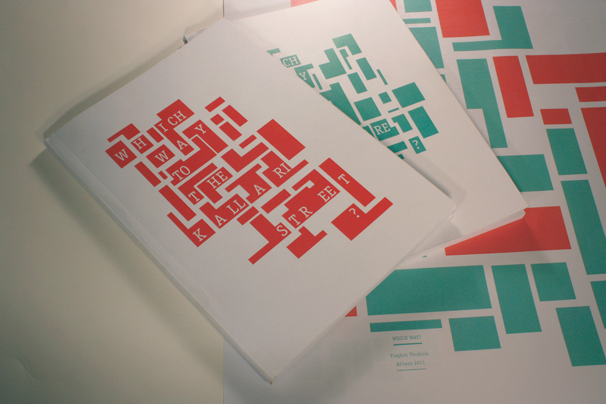
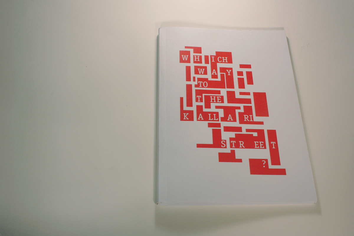
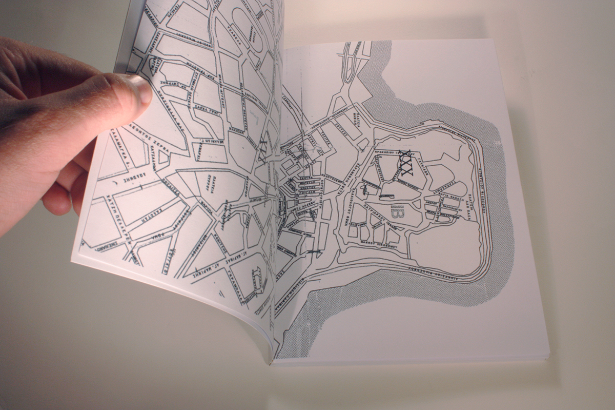
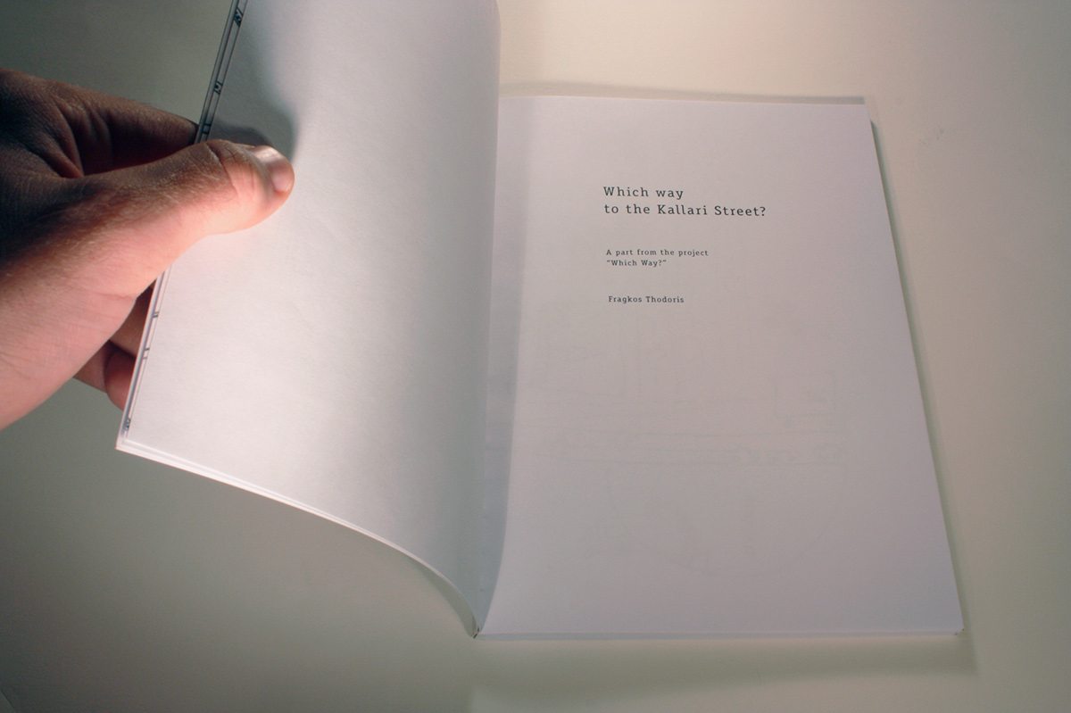
“Which Way to the Kallari Street?”
A part of the project “Which Way?”.
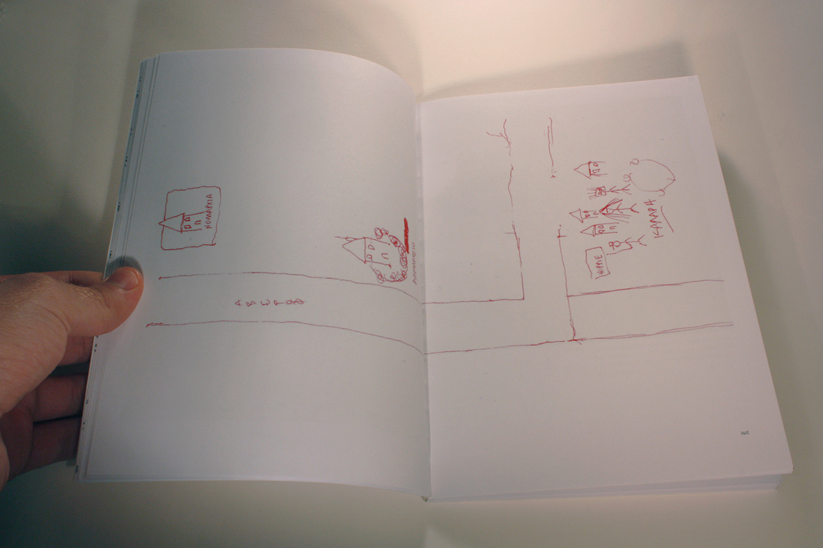
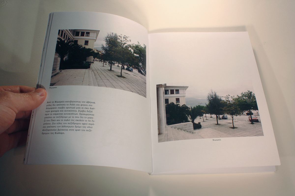
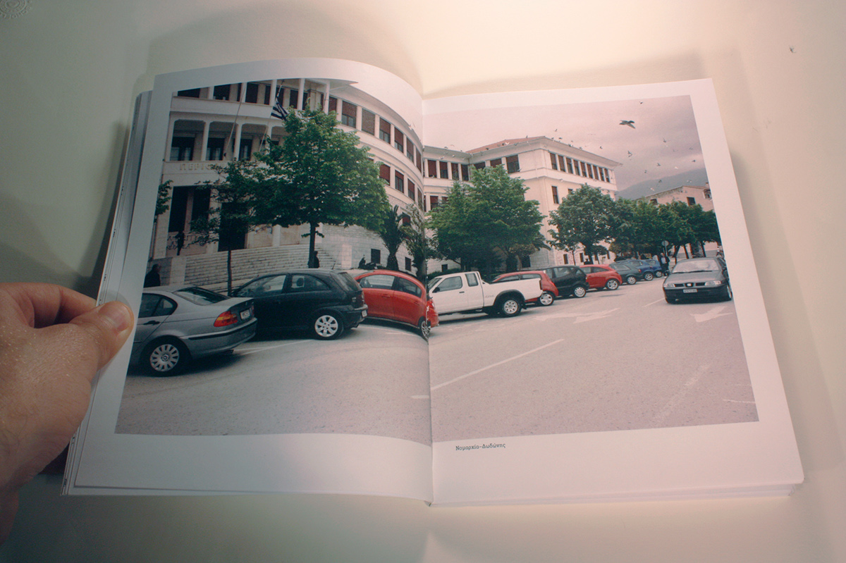
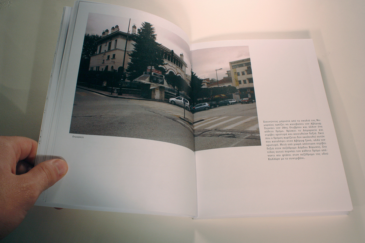
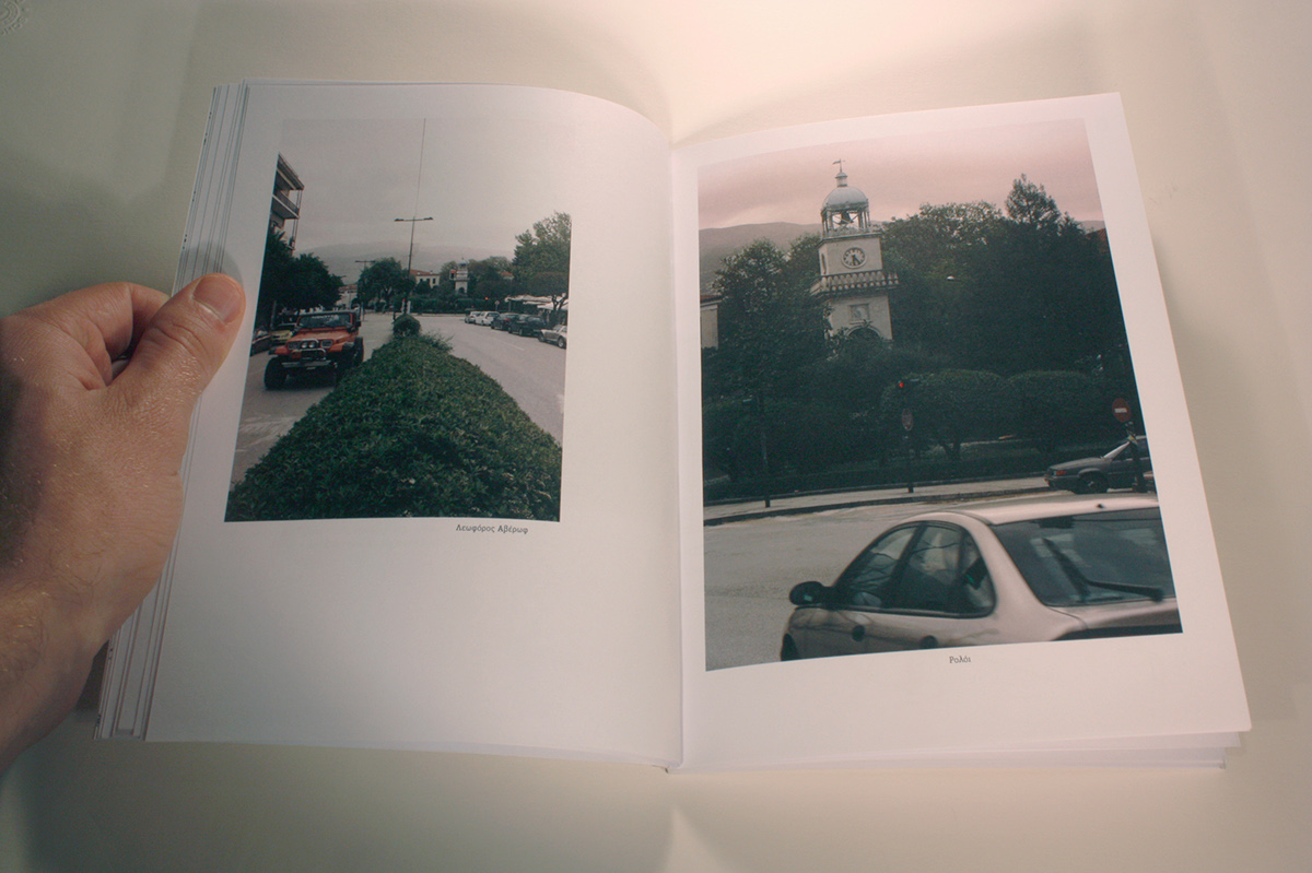
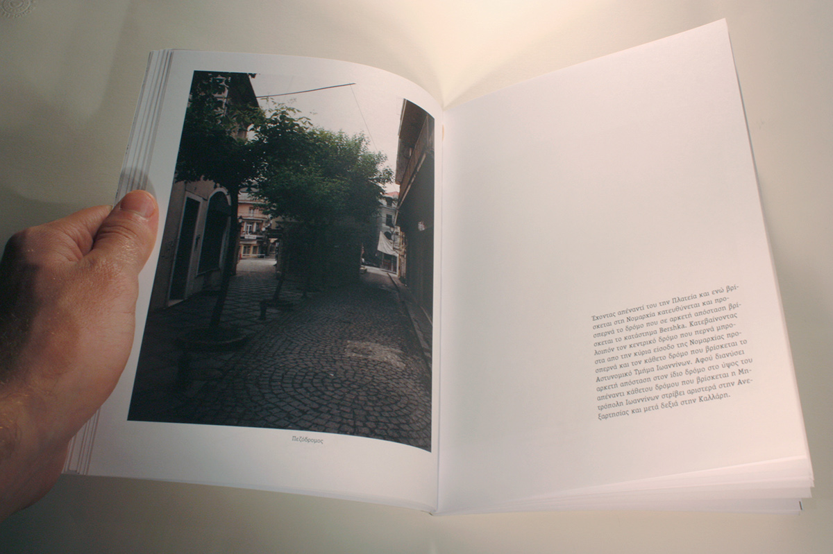
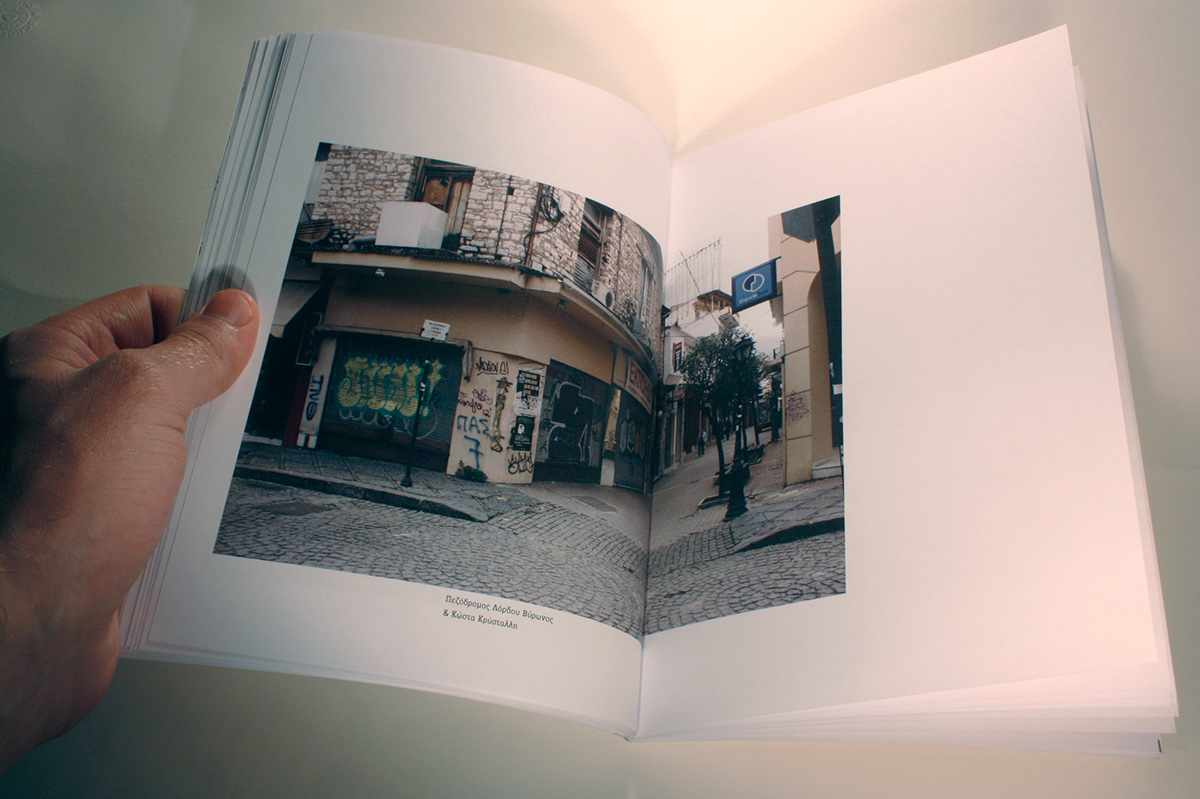
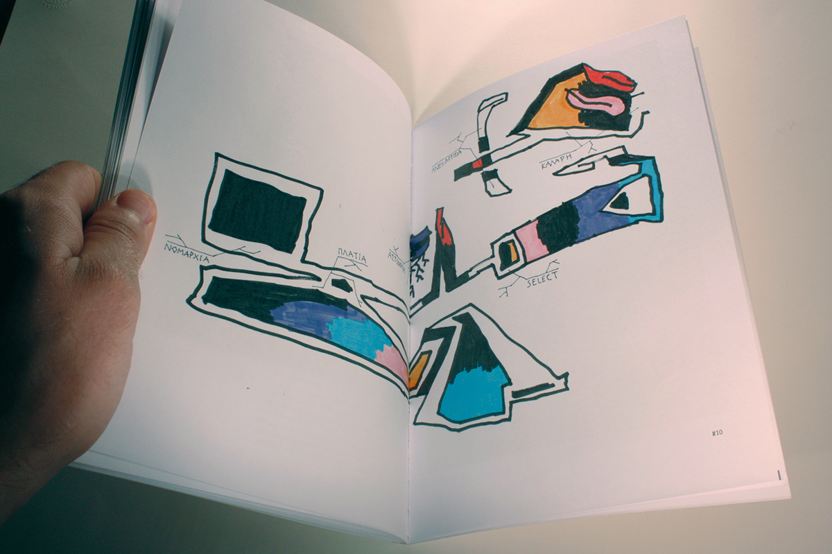
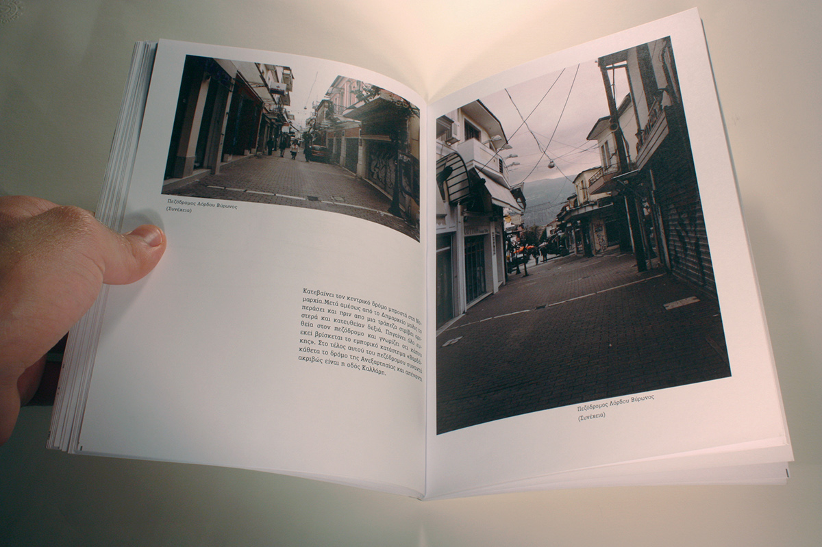
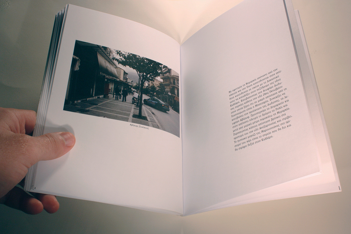
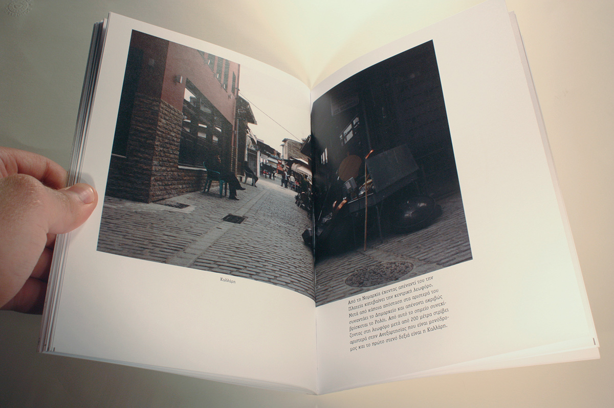
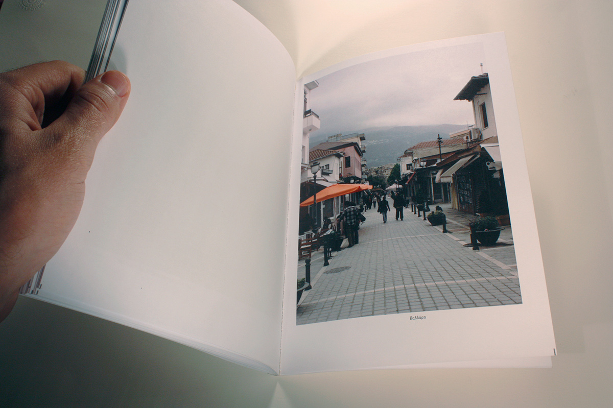
Research on how, and if, citizens of IOANNINA proceive a known route in the city and how can they visualize their thought on this. I asked them to make a map for me so as to understand how to go from the beginning to the destination. Then I followed every route taking photos so as to attribute the environment of these maps.
Finally I designed 2 books, with 60 pages each, in which are included 10 maps each, many photos classificated as distance from the destination and a text for each map with my personal explanation of them.


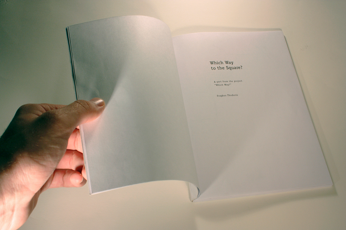
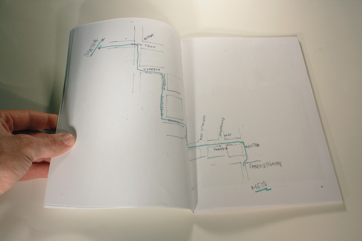
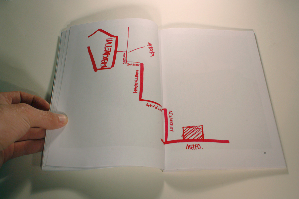
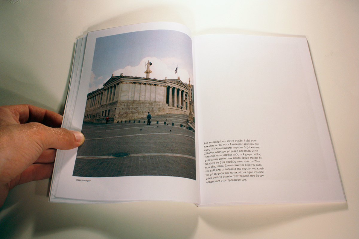
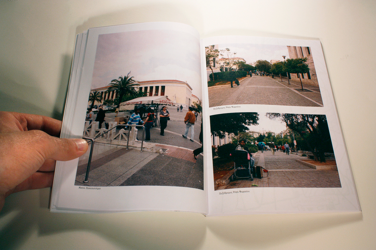
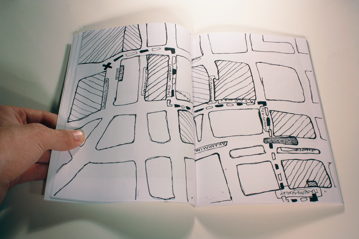
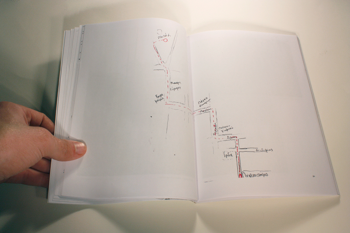
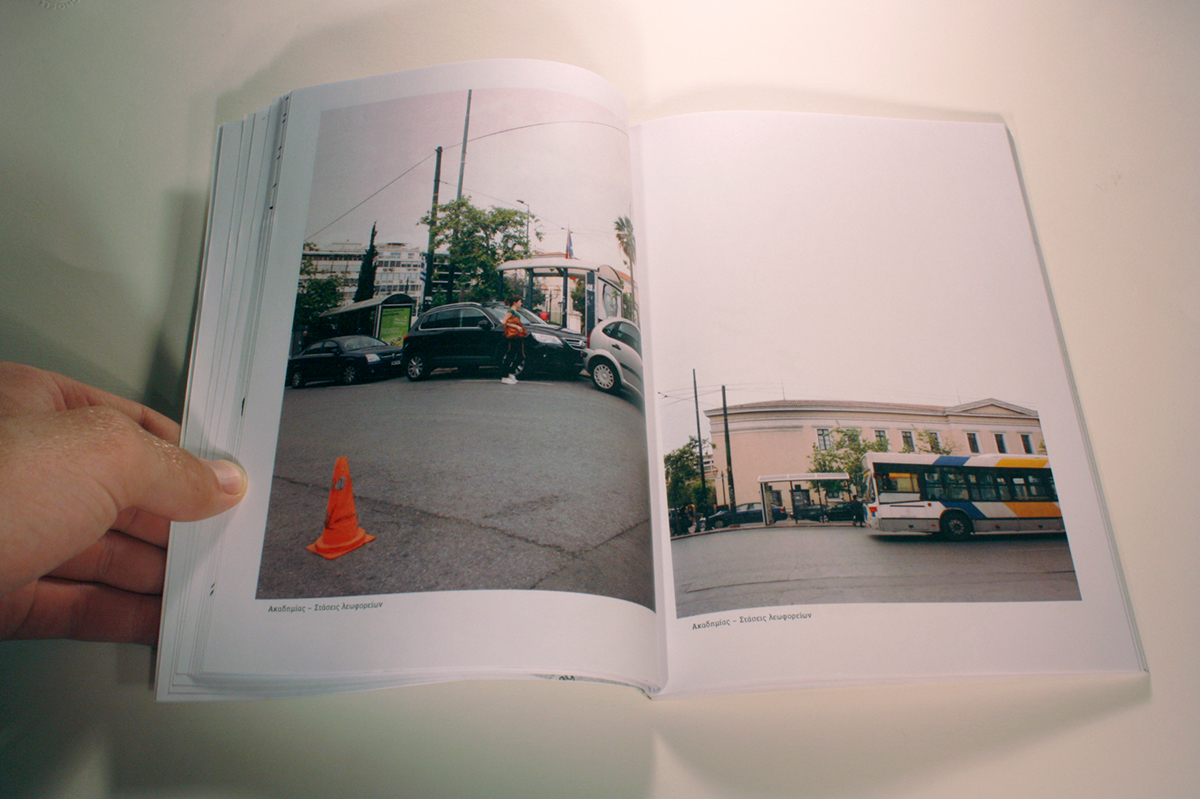
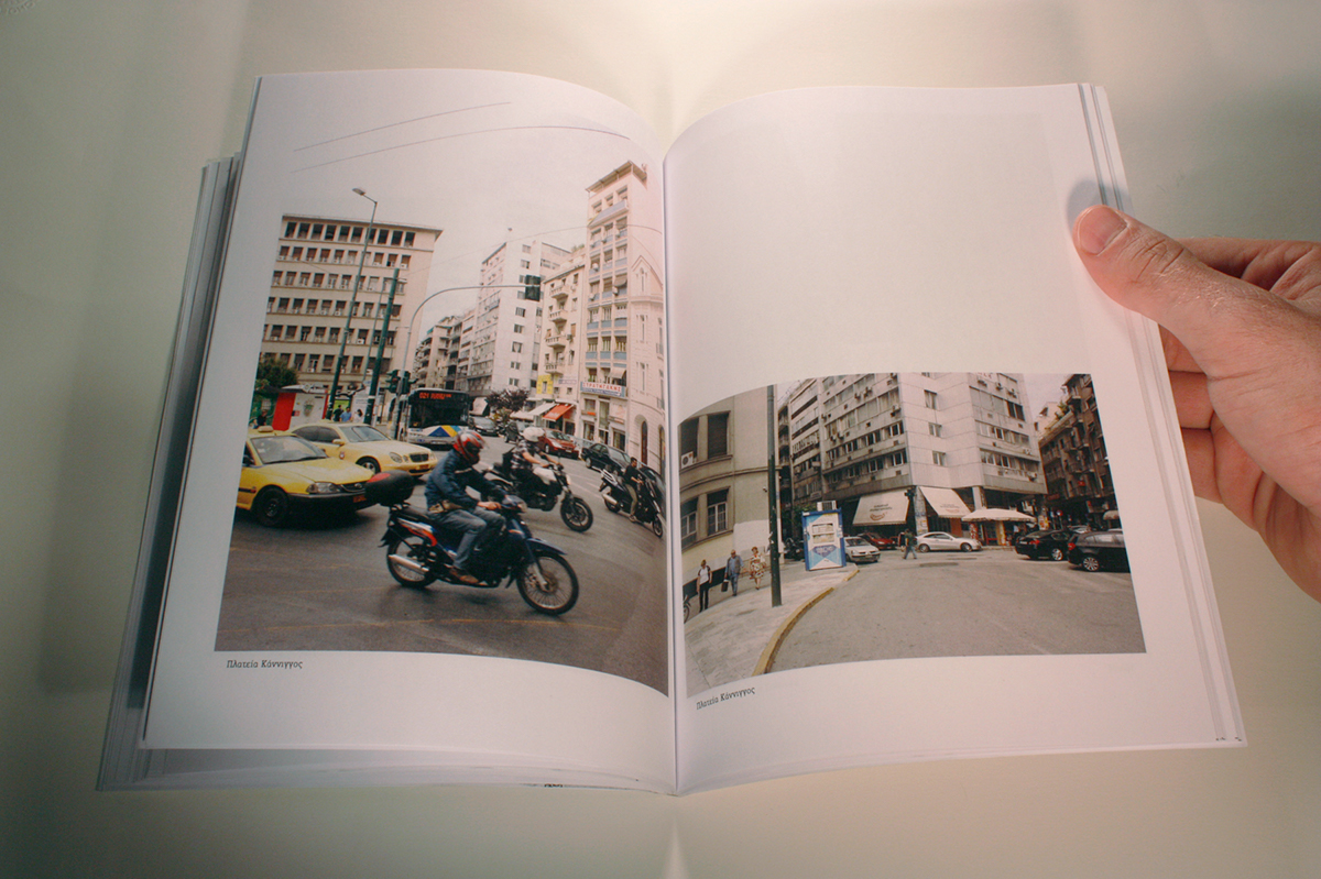
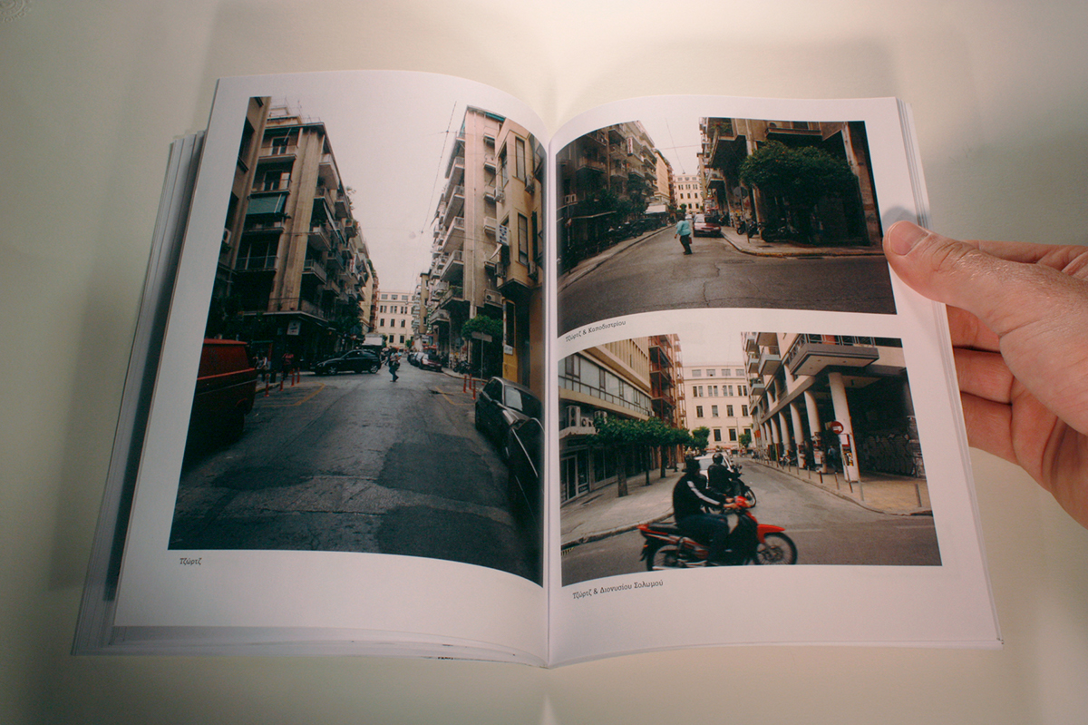
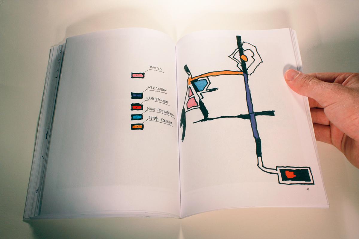
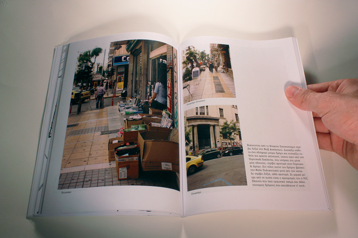
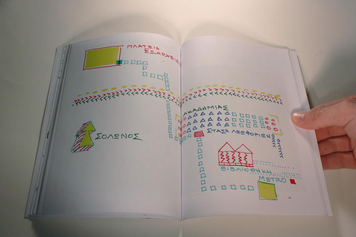
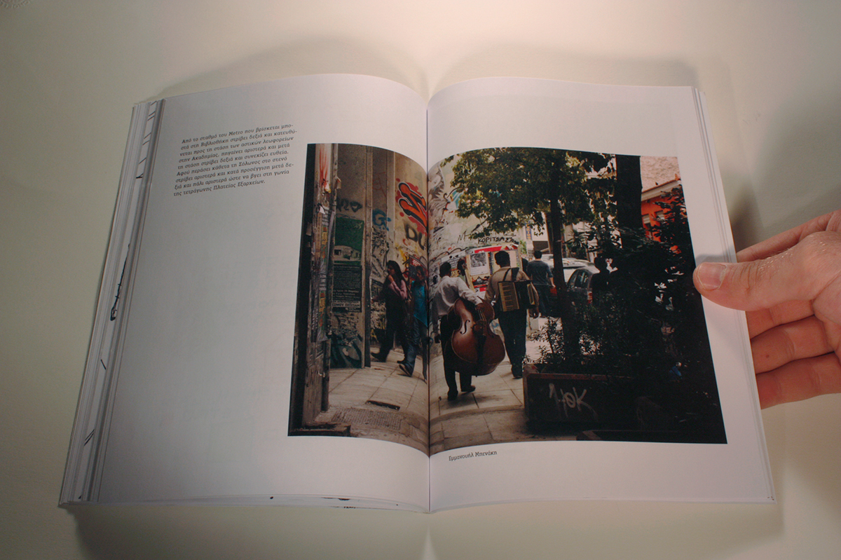
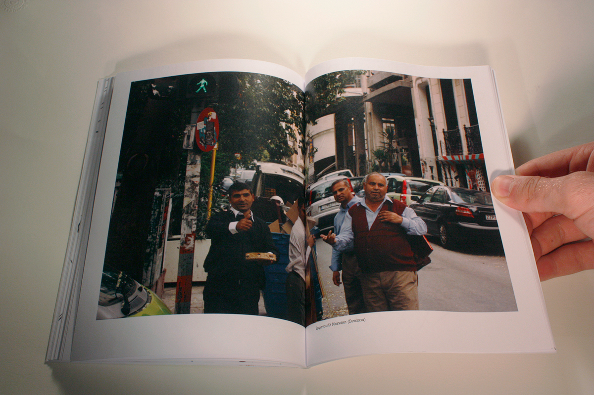
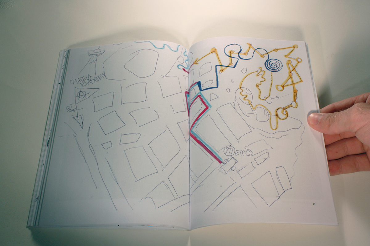
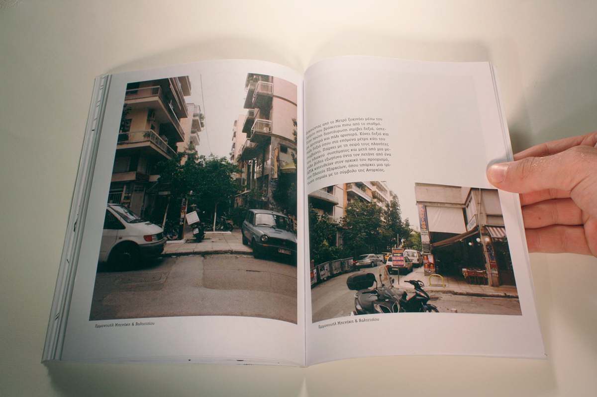
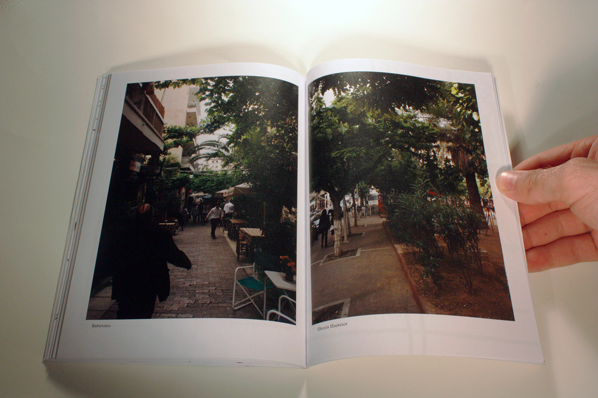
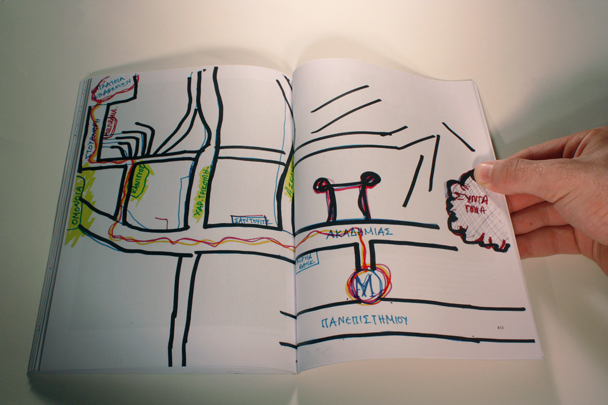
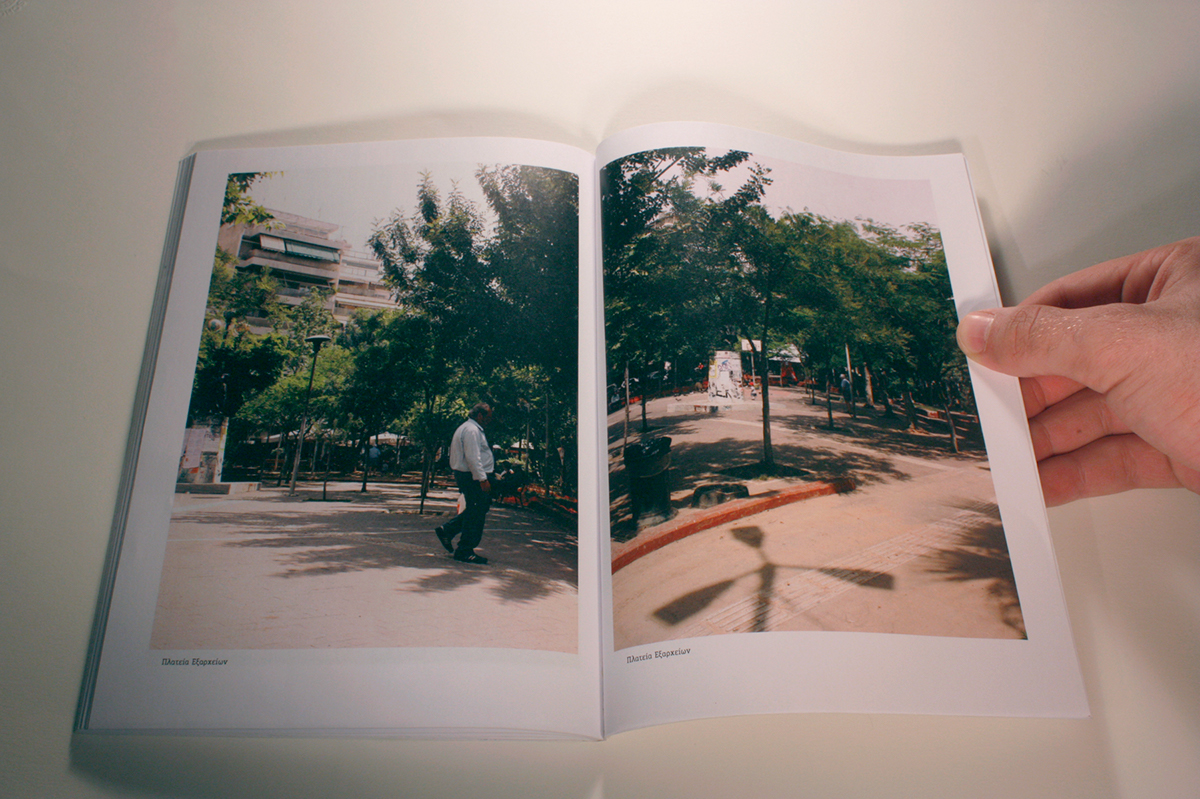
“Which Way to the Square?”
A part of the project “Which Way?”.
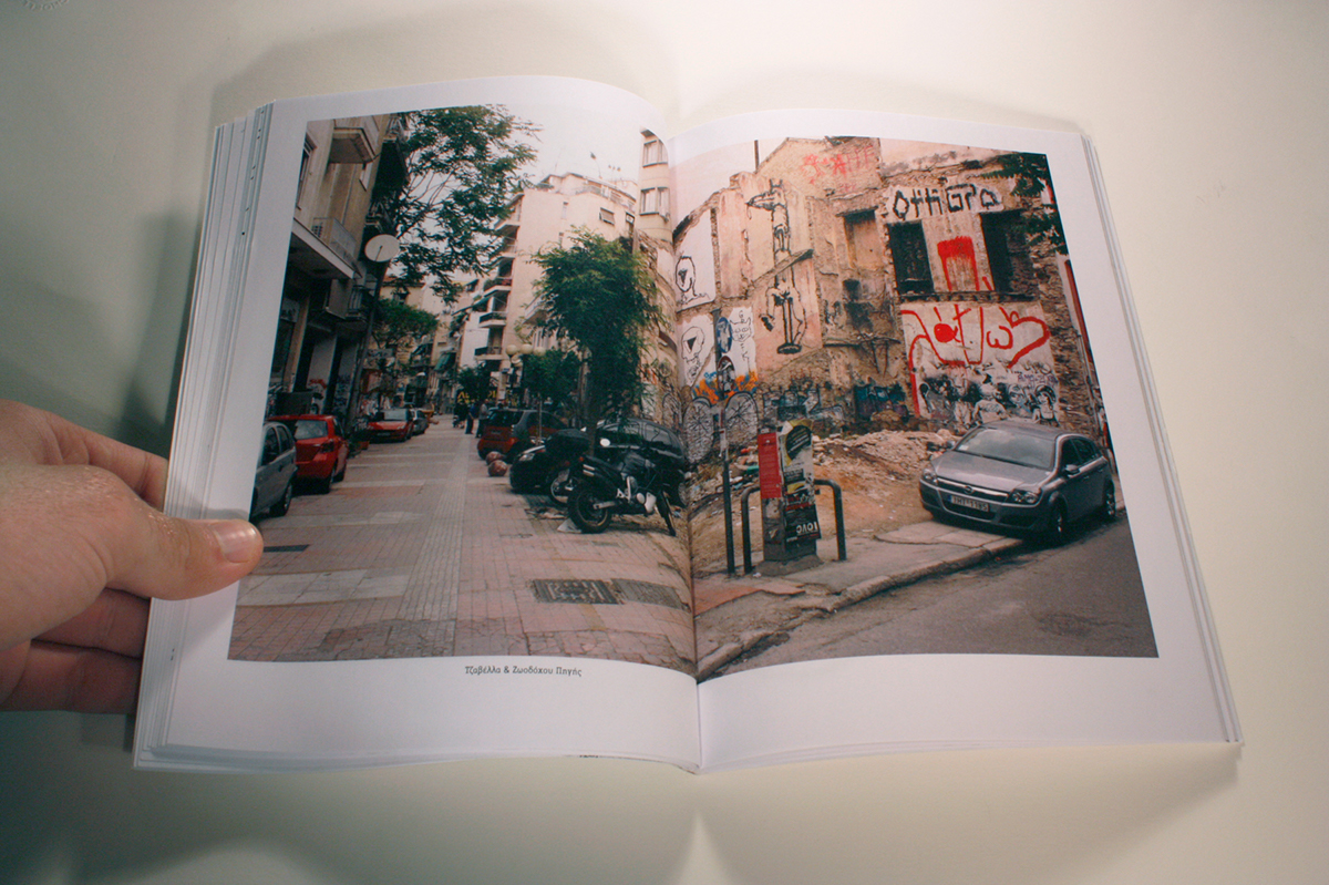
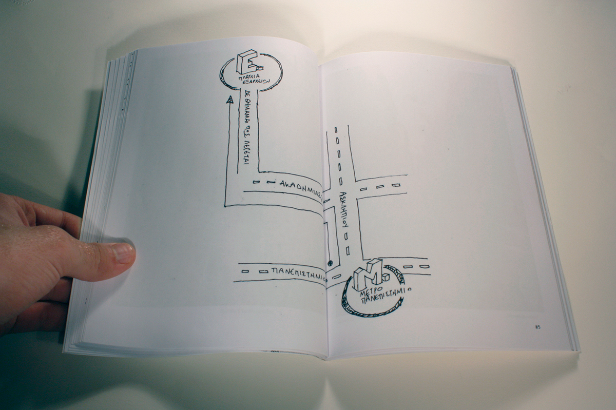
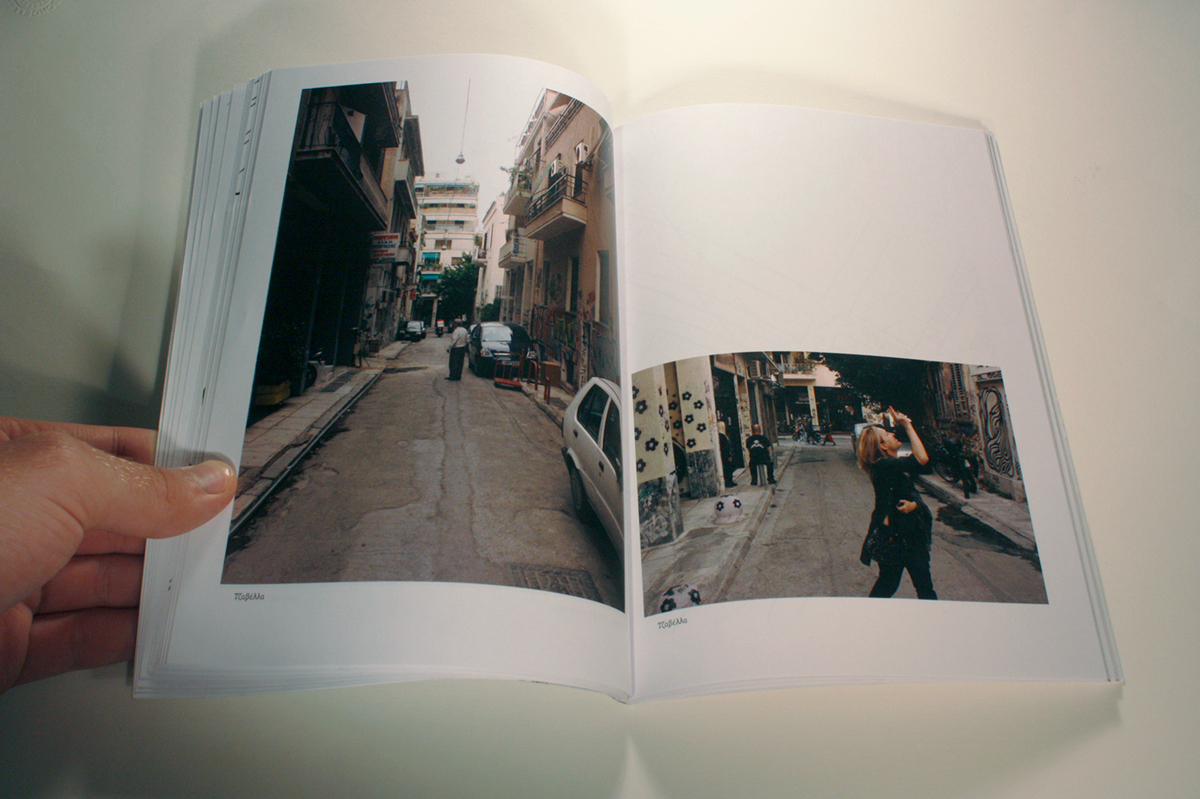
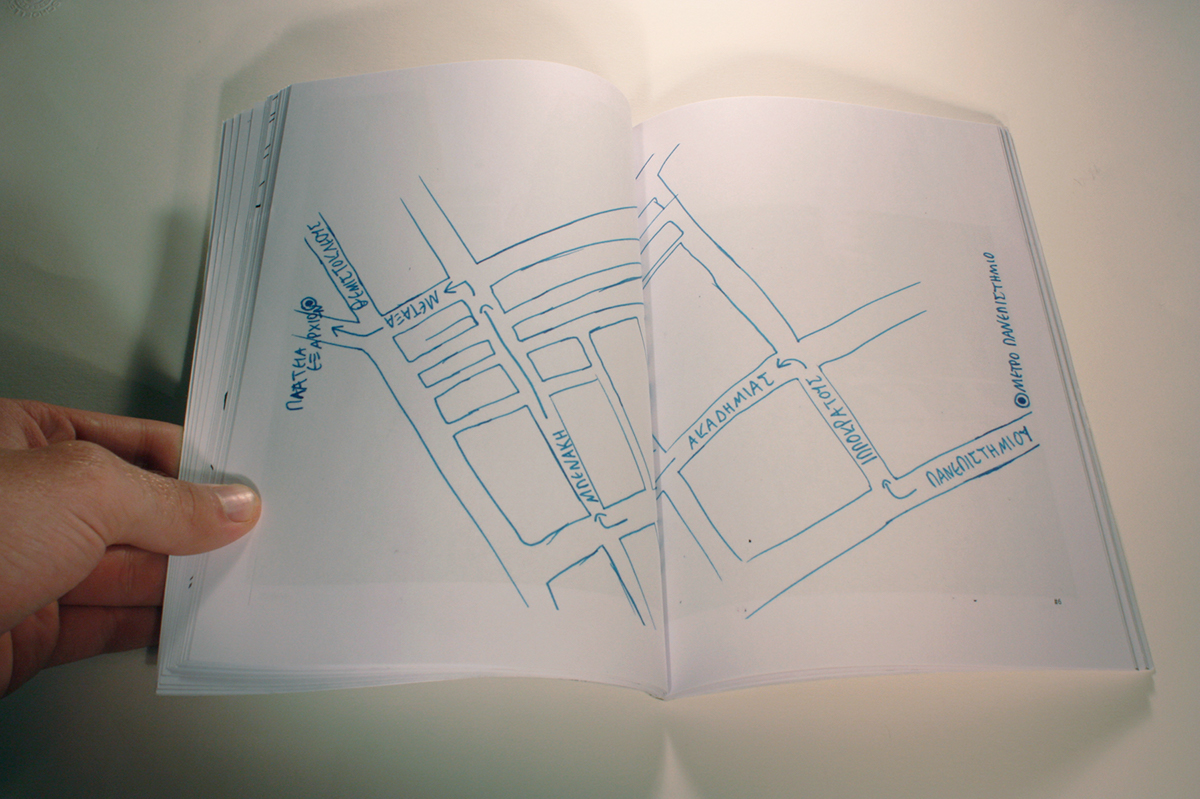
Research on how, and if, citizens of ATHENS proceive a known route in the city and how can they visualize their thought on this. I asked them to make a map for me so as to understand how to go from the beginning to the destination. Then I followed every route taking photos so as to attribute the environment of these maps.
Finally I designed 2 books, with 60 pages each, in which are included 10 maps each, many photos classificated as distance from the destination and a text for each map with my personal explanation of them.


Many thanks to Christos Lialios.
http://www.christoslialios.com/
http://www.christoslialios.com/


