
El Carto Studio | San Diego Bathymetry Map
Project Type
3D viz, Data visualization, GIS, Cartography
Tools used
Solidworks, Keyshot, Illustrator, QGIS, Photoshop
YEAR
2023
Project Details
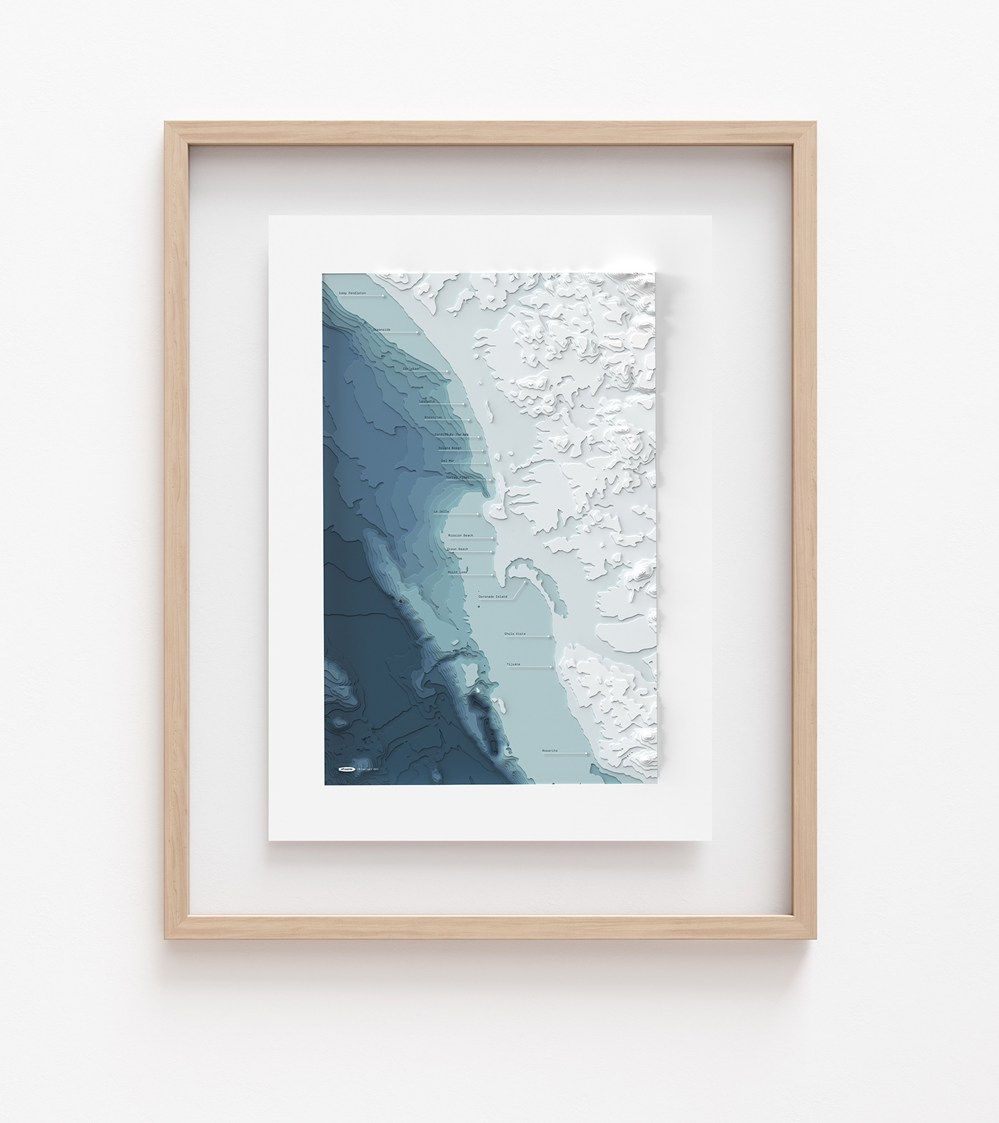
My latest exploration in data visualization, a bathymetry map of San Diego, California.
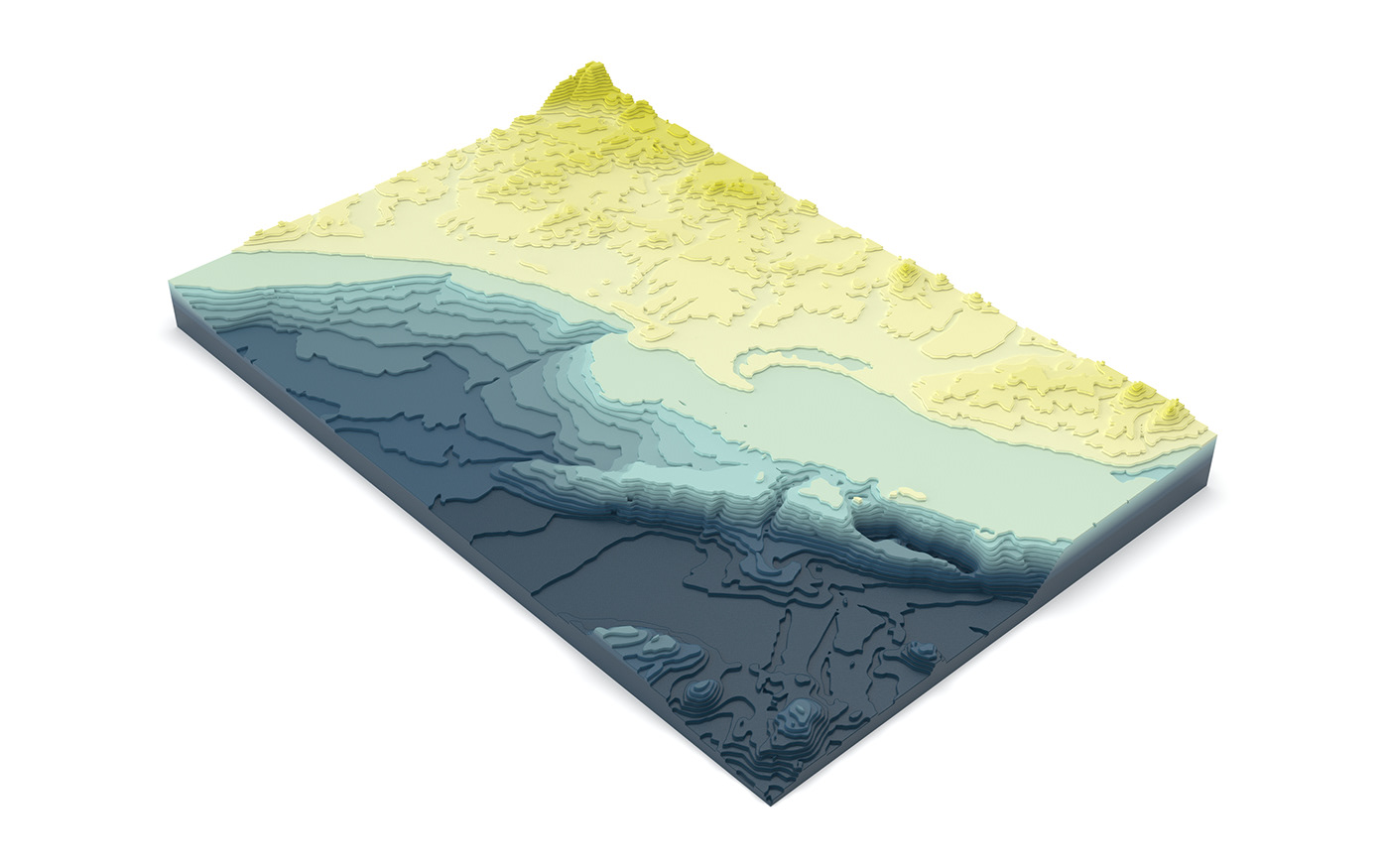
Sequence of events: Lidar scans of seafloor (courtesy of Gebco), qgis data extraction, Adobe Illustrator linework processing, Solidworks extrusions, Keyshot Rendering, Final Touchups in Illustrator.
Fun to explore the shadows of the seafloor and how its features effect the shape of the surface above. Many of San Diego's premiere surf spots are located near deep underwater canyons where energy is channeled upwards to the surface resulting in punchy breaks.