
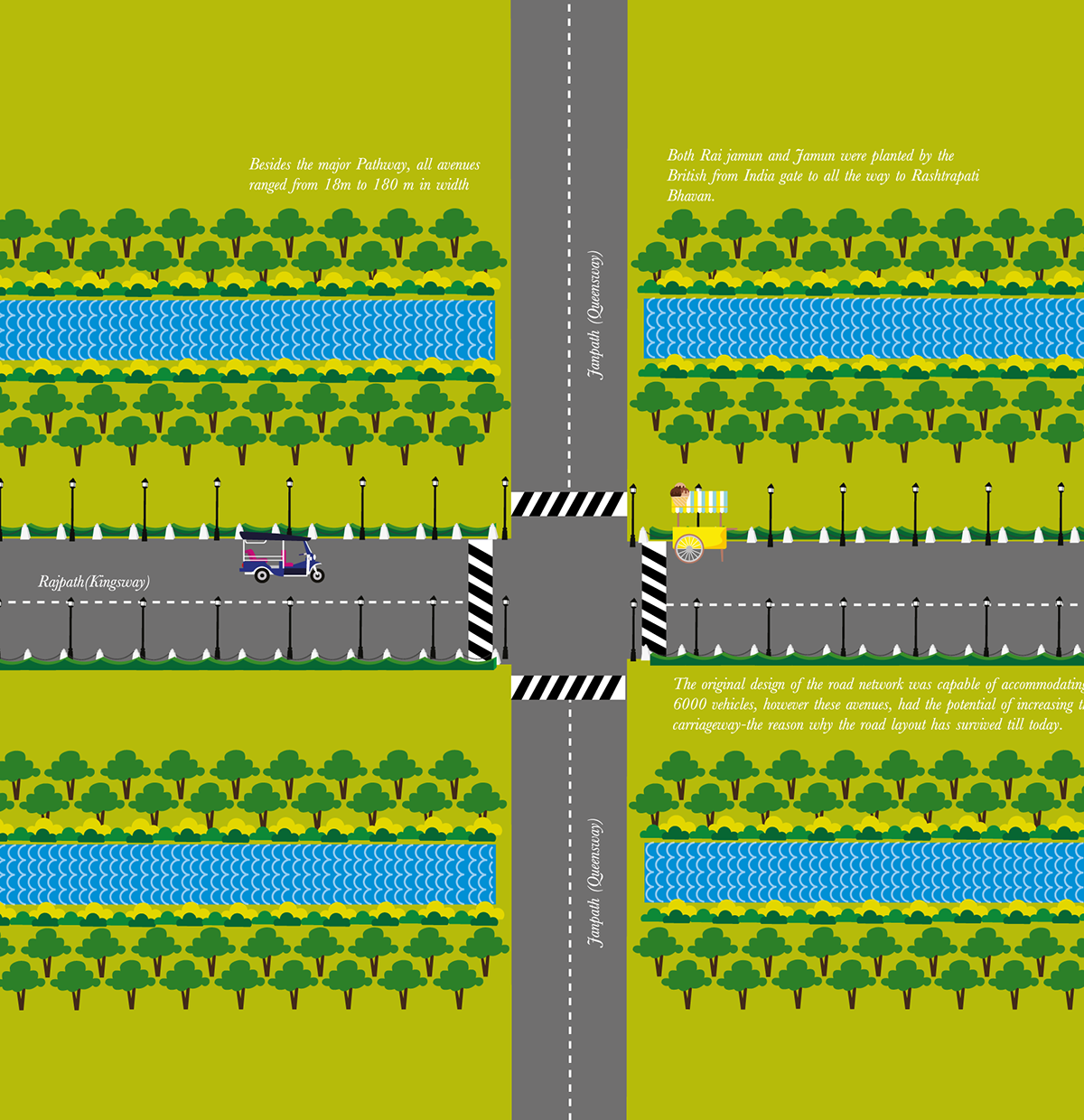
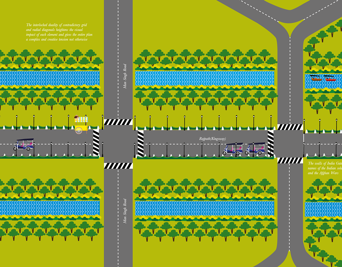
The project is an informative guide to Rajpath in form of a graphical map, which retraces the path from Rashtrapati Bhawan to India gate, giving a brief insight into the history and lesser known facts about the area. The heart of Lutyens Delhi, Rajpath stretches from Rashtrapati Bhawan on Raisina Hills to India Gate. Set into a hexagonal grid, the avenue is lined on both sides by huge lawns, canals and rows of trees. Considered to be one of the most important roads in India, the annual Republic Day parade takes place here on 26 January. The Map is an attempt to illustrate and unveil the history and lesser known facts about the area.
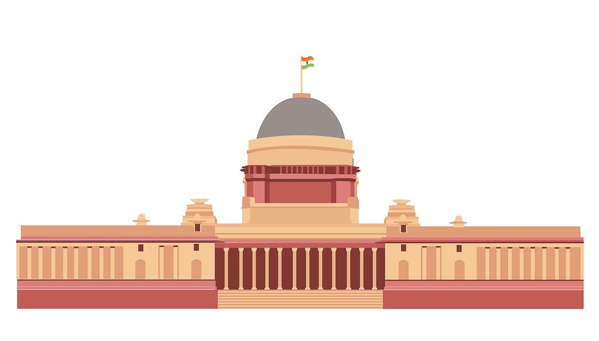
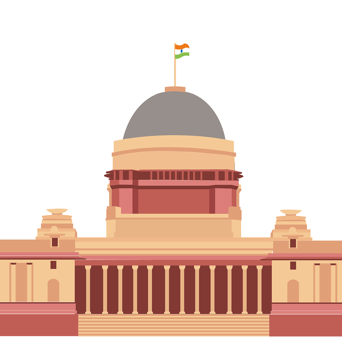
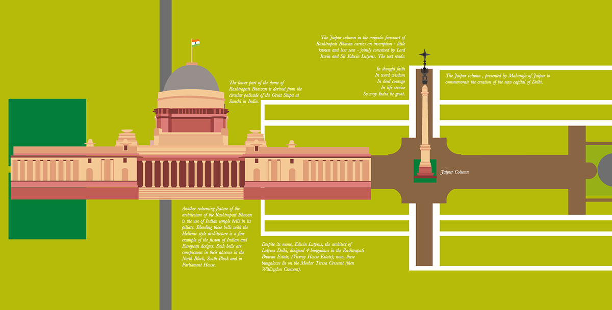
Rashtrapati Bhawan
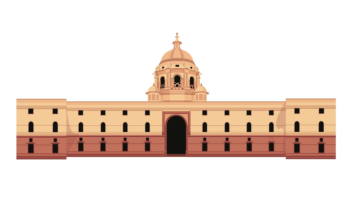
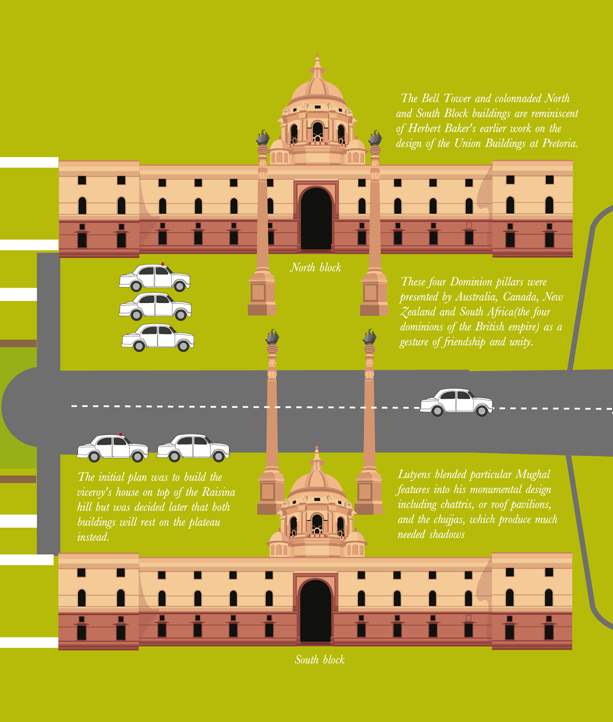
North and South Block of the Secretariat building
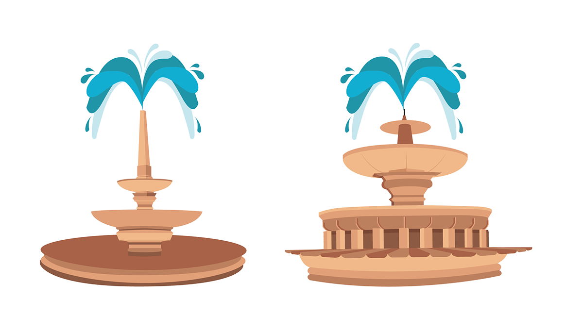
Fountain at Vijay chowk, Fountain flanking either sides of India gate

India Gate
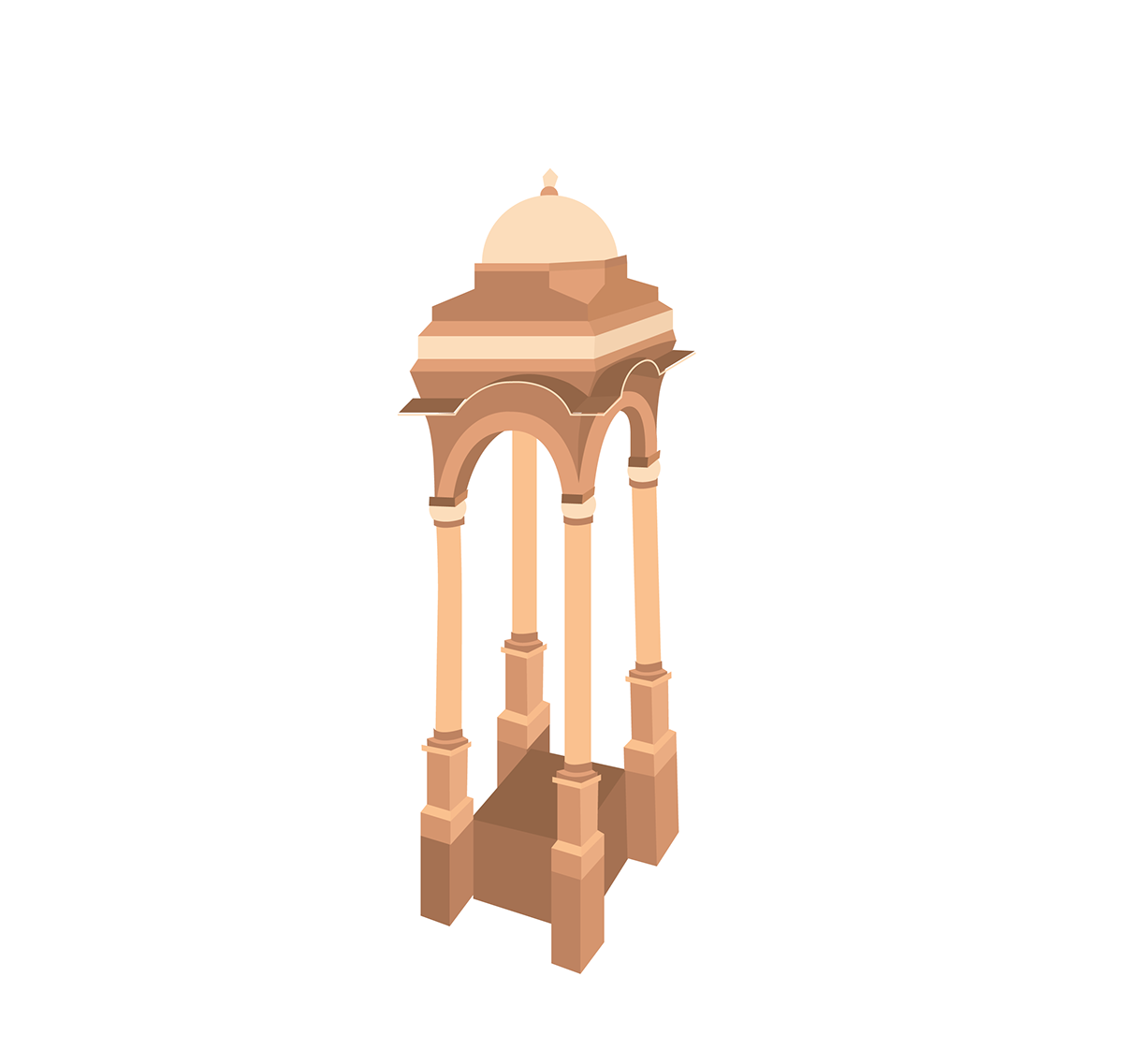
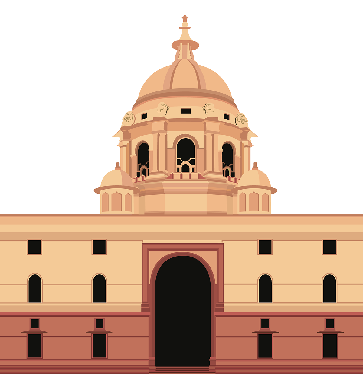
Cupola Behind India Gate
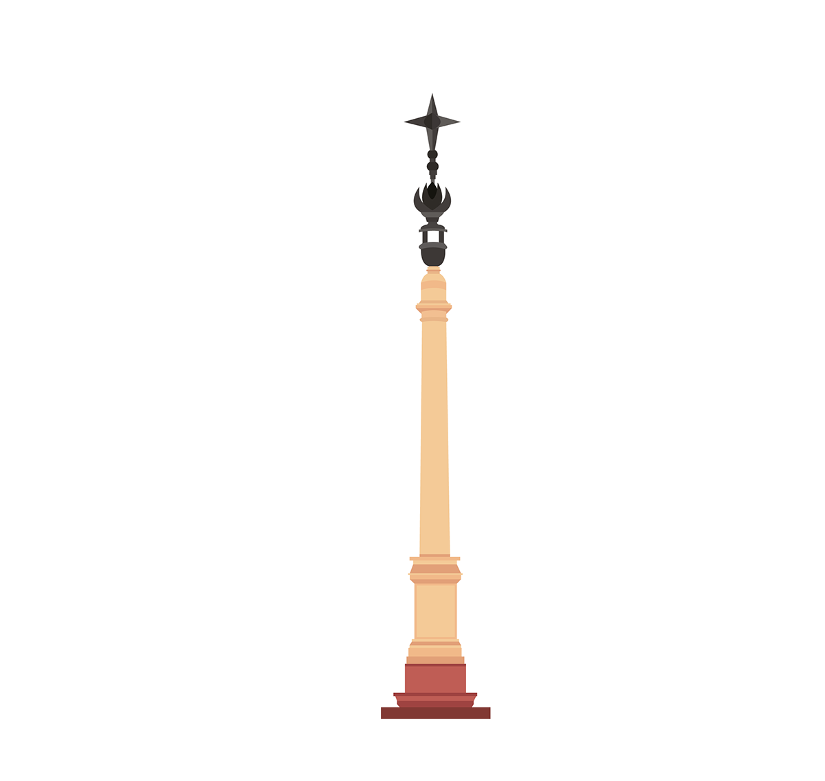
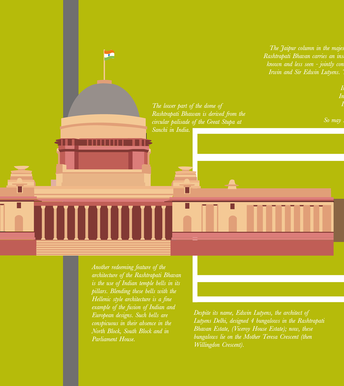
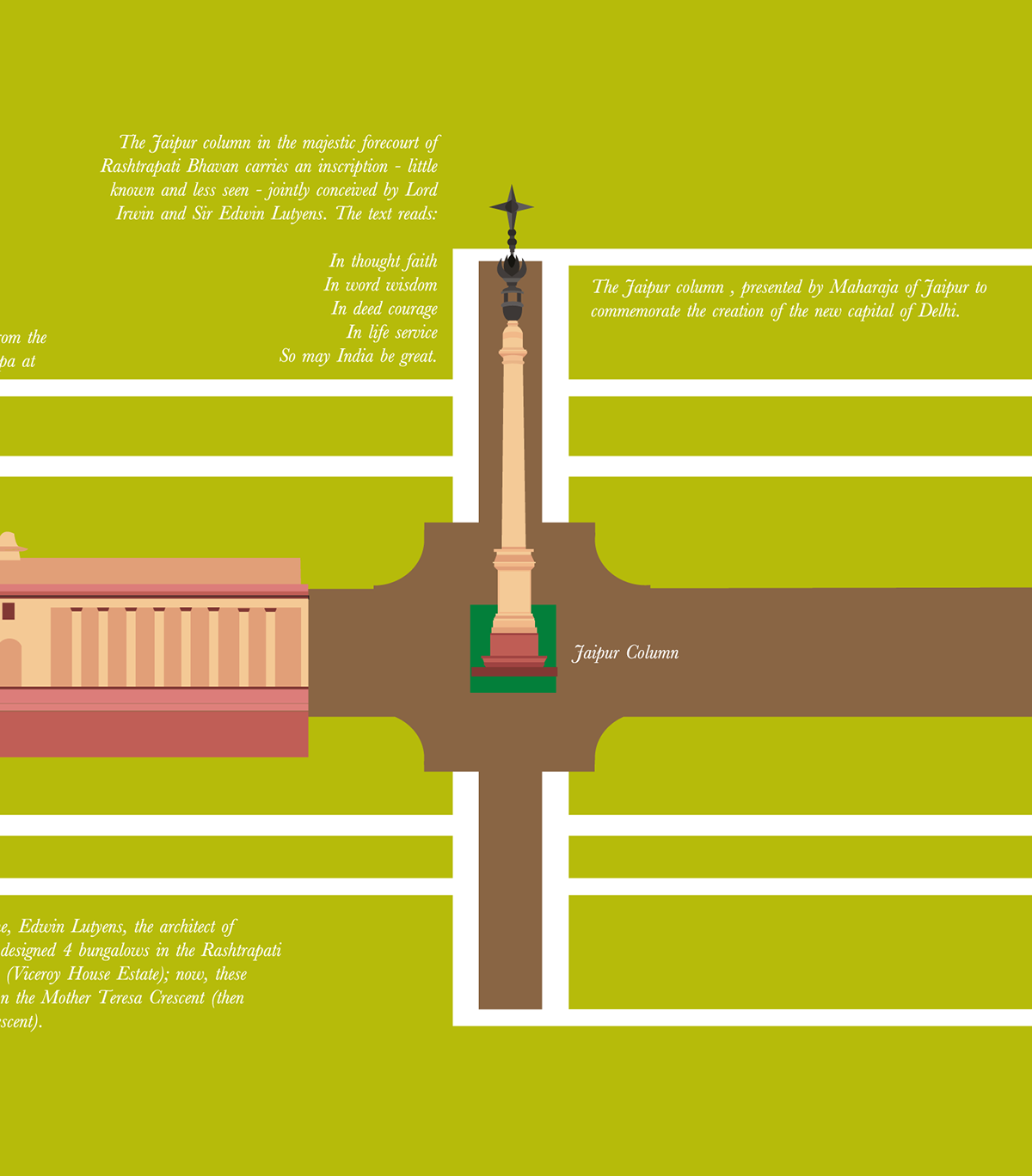
The Jaipur column
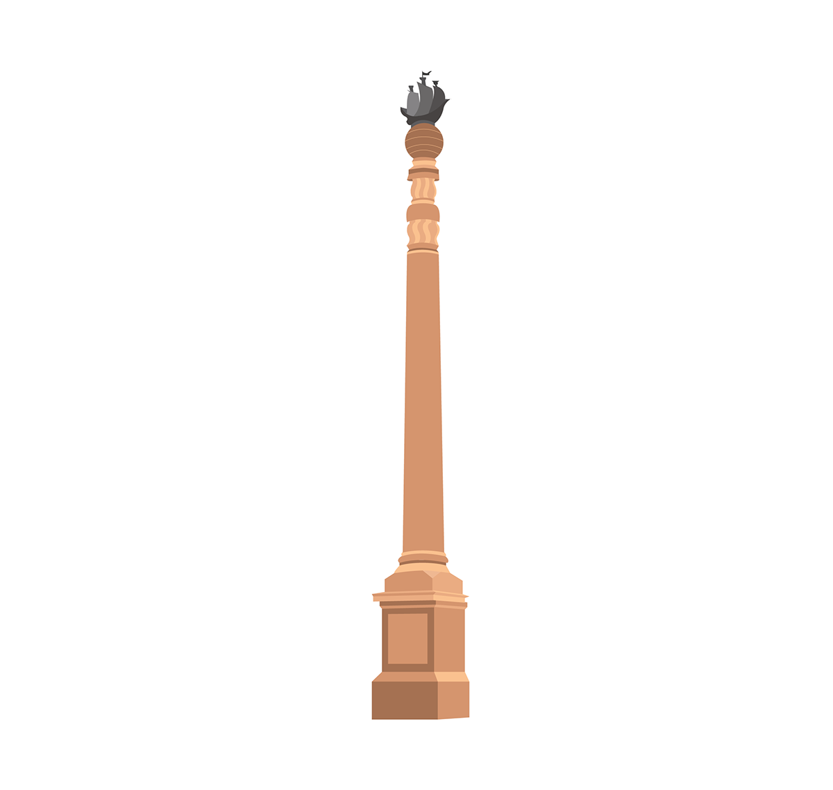
Dominion Pillar placed infront of the North and South Secretariat blocks

Icons
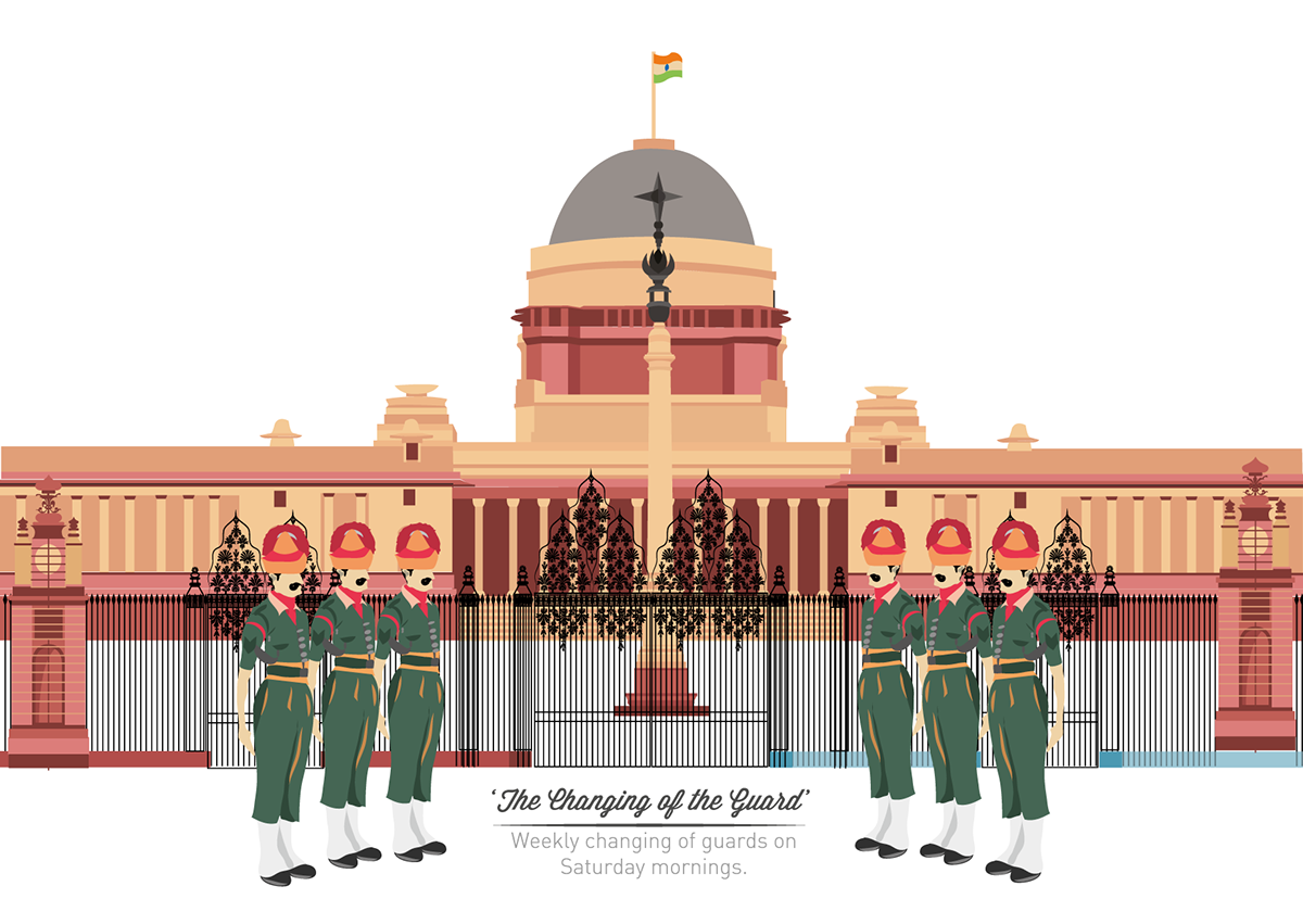
Weekly Changing of The President's Guards at Rashtrapati Bhawan
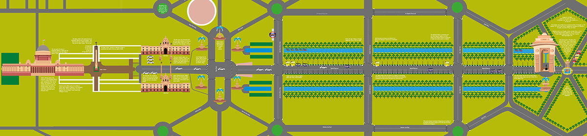
Final Map (Rajpath)
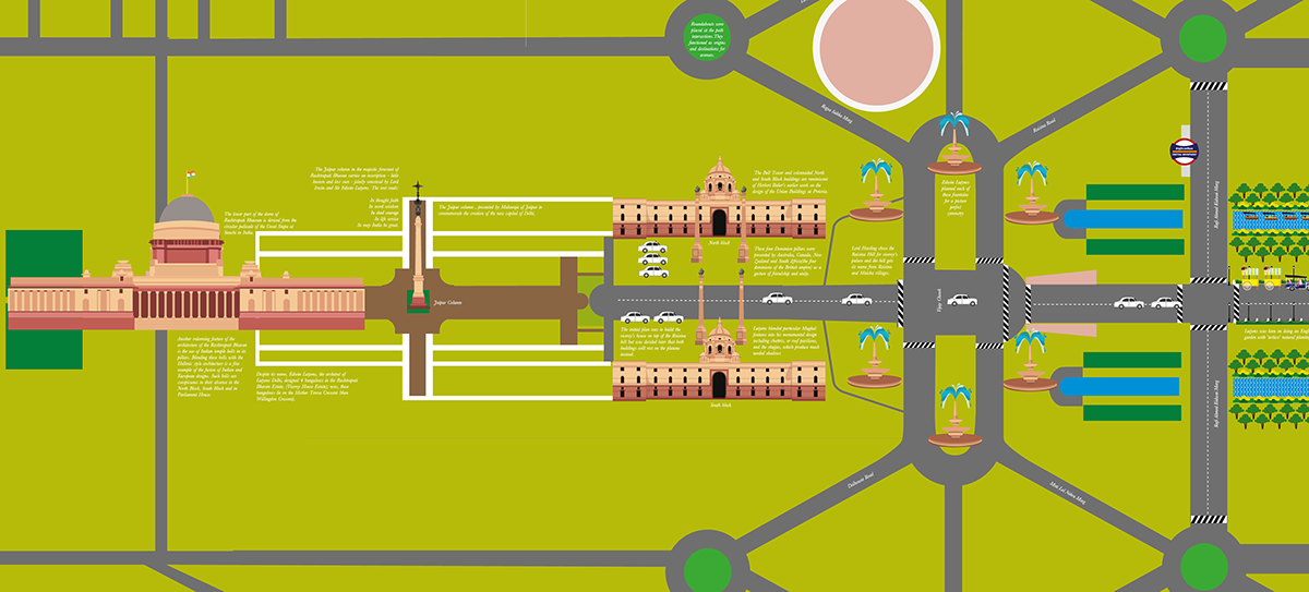
Zoomed in view (Rashtrapati Bhawan to Vijay Chowk)
Rashtrapati Bhawan and Jaipur Column
Secretariat blocks with Dominion pillars

Vijay Chowk
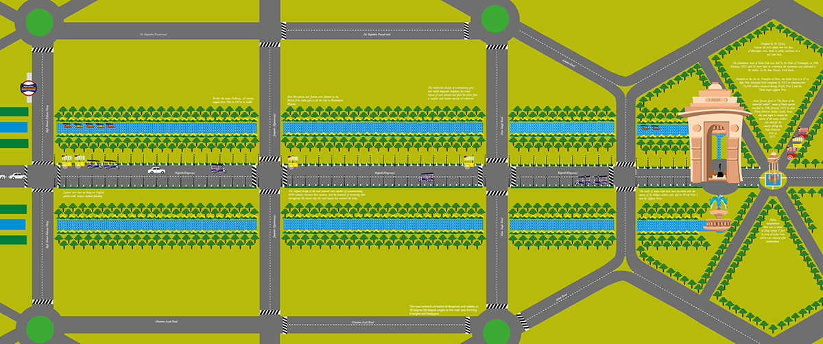
Rajpath leading to India gate

Rajpath with boat club at Central Secretariat Metro Station

India Gate flanked by elaborate fountains on either side
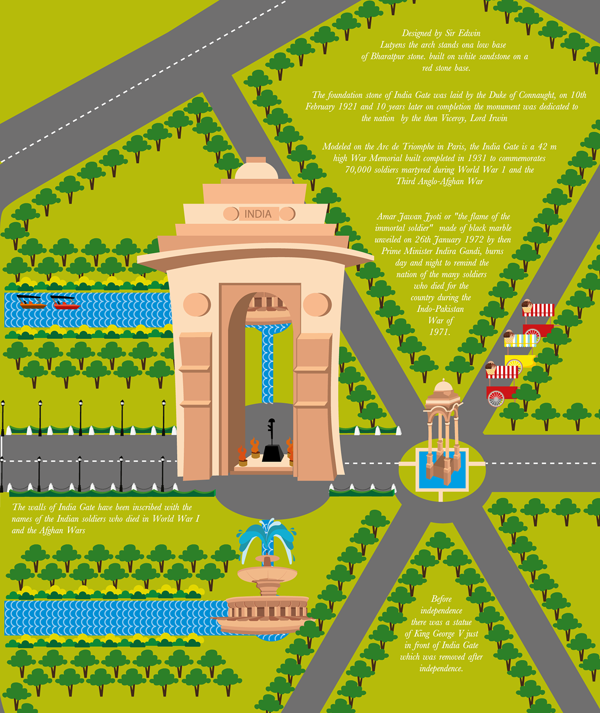
India gate and Cupola


