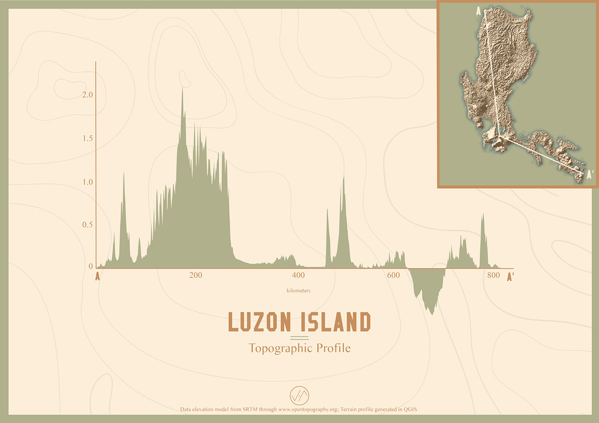
A visual graph study of the Philippine island’s varied topographic elevation and partial bathymetric depth. Dataset used is a digital elevation model from Shuttle Radar Topography Mission.
Join Behance
Sign up or Sign into view personalized recommendations, follow creatives, and more.
or
Join Behance
Sign up or Sign in to view personalized recommendations, follow creatives, and more.